Leaving from the Golden Eagle Trailhead, the Dixie Mine Trail wanders through an improved and gated residential neighborhood before entering McDowell Mountain Regional Park and departing modern …
You must be a member to read this story.
Join our family of readers for as little as $5 per month and support local, unbiased journalism.
Current print subscribers can create a free account by clicking here
Otherwise, follow the link below to join.
To Our Valued Readers –
Visitors to our website will be limited to five stories per month unless they opt to subscribe. The five stories do not include our exclusive content written by our journalists.
For $6.99, less than 20 cents a day, digital subscribers will receive unlimited access to YourValley.net, including exclusive content from our newsroom and access to our Daily Independent e-edition.
Our commitment to balanced, fair reporting and local coverage provides insight and perspective not found anywhere else.
Your financial commitment will help to preserve the kind of honest journalism produced by our reporters and editors. We trust you agree that independent journalism is an essential component of our democracy. Please click here to subscribe.
Need to set up your free e-Newspaper all-access account? click here.
Non-subscribers
Click here to see your options for becoming a subscriber.
Register to comment
Click here create a free account for posting comments.
Note that free accounts do not include access to premium content on this site.
I am anchor
Dixie Mine hike reveals area's history
dixie 3.jpg
Dixie 1.jpg
dixie 2.jpg
dixie 4.jpg
dixie 6.jpg
dixie 7.jpg
dixie5.jpg
Posted
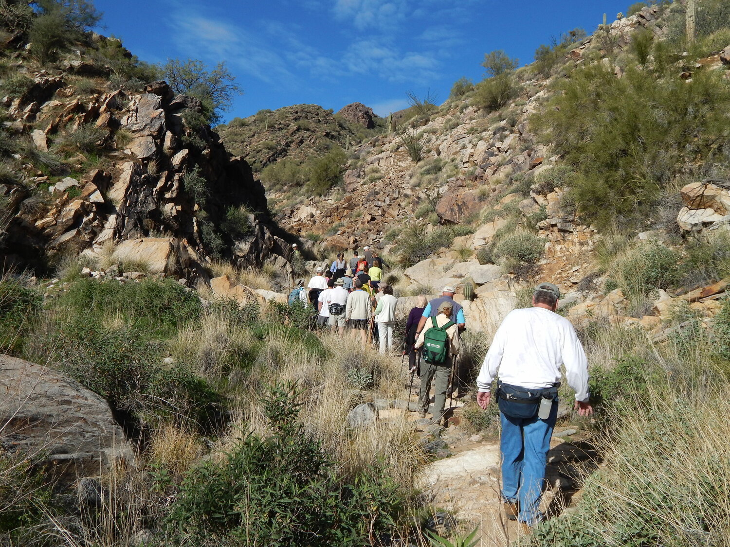
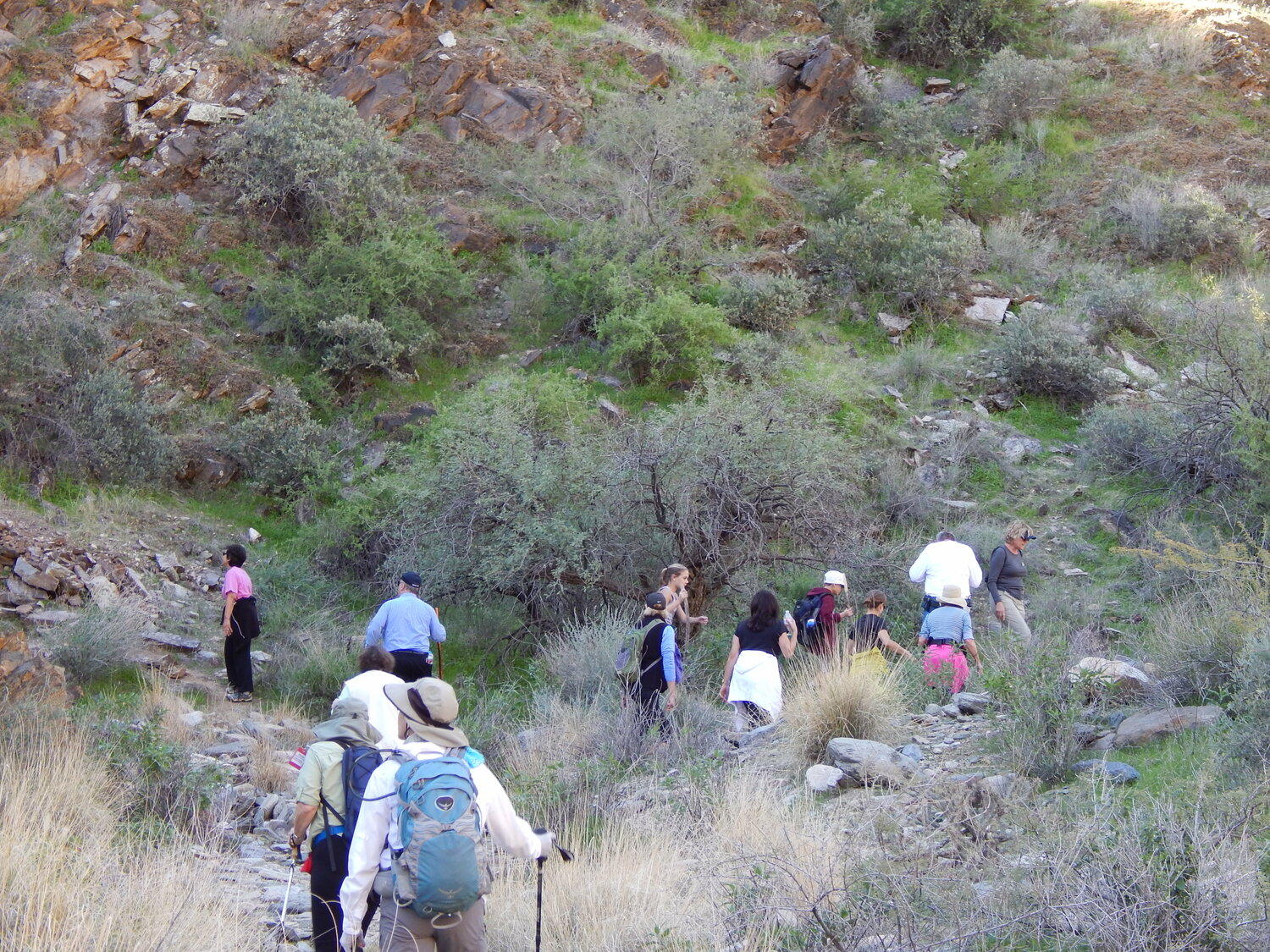
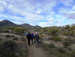
Leaving from the Golden Eagle Trailhead, the Dixie Mine Trail wanders through an improved and gated residential neighborhood before entering McDowell Mountain Regional Park and departing modern civilization.
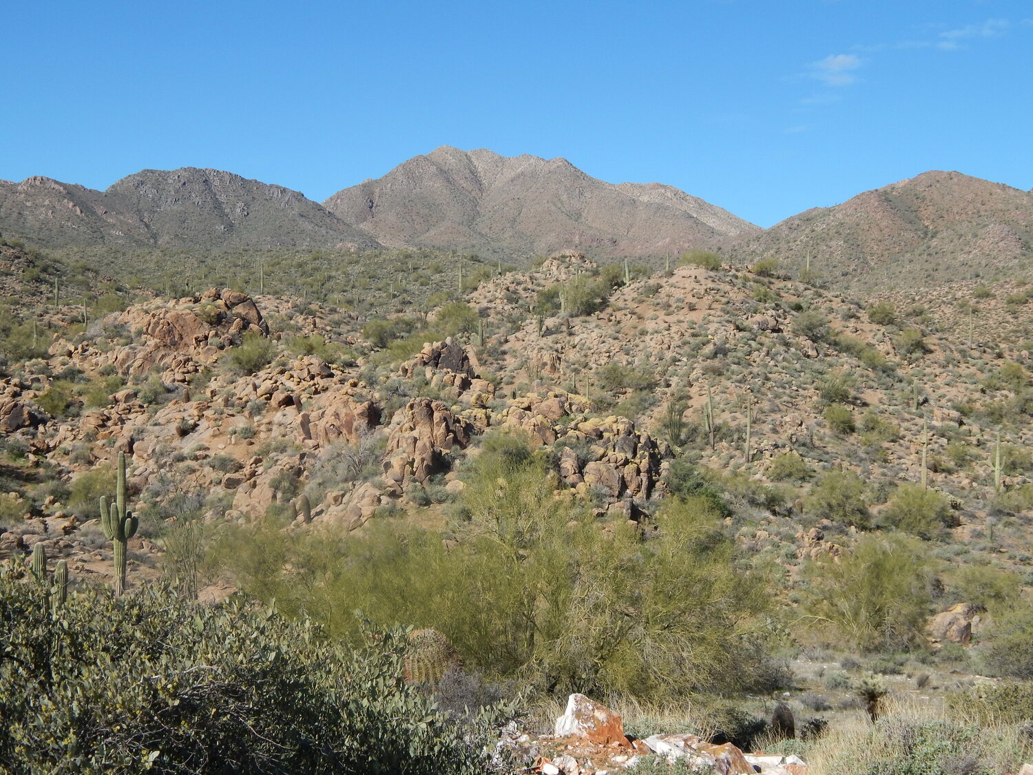
It is just over a couple of miles back through lush Sonoran Desert to the Dixie Mine site and a journey back nearly a century in time when silver, copper and gold were the ticket to striking it rich.
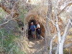
What is known today as the Dixie Mine was originally owned by the Red Mountain Consolidated Copper Mines Company, and there were reported to be as many as 21 mining claims located on about 420 acres in the Dixie Mining District of the McDowell Mountains.
By 1917 there were two main horizontal tunnels developed for prospecting off the rocky arroyo leading into the rugged hillsides. The one where the iron gate has been placed stretched 240 feet into the earth. A second tunnel across, the arroyo, was 100 feet into the hillside.
The mining sites changed hands several times over the 20th Century with official claims recorded in 1937, 1939 and again in 1962.
In the 1970s when Maricopa County was working to create a park in the area it fell upon a judge to review the mining data and in 1977 it was ruled the claims were economically deficient and the property became part of McDowell Mountain Regional Park.
The iron gate was constructed during the 1980s after several people became injured in accidents exploring the area. Today only authorized parties such as the Bureau of Land Management have access to the tunnels for mine search and rescue training, and scientific users.
Bats, packrats, javelina, bobcat, birds and insects also use the tunnels today.
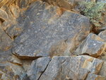
Hikers can keep walking beyond the tunnel entrances and up the arroyo about 100 more feet where rocks overhanging the wash are covered in indecipherable markings. These rock petroglyphs are represented by three time periods, the Archaic, Hohokam and historical.
The Archaic dates back 800 years and more. This is represented by interesting shapes, which are often not recognizable as representing anything familiar.
Those that appeared during the Hohokam period are sometimes recognizable as stick figures representing animals or human forms. Sunbursts and water are also recognizable.
The historic markings date back about 100 years and were left during the ranching and mining period of the area. Scratched into the rock is “H.P. 1925,” believed to indicate Henry Pemberton who ranched in the area between 1918 and 1925.
There is also a visible P- brand of the P-Bar Ranch operated by the Barksdale family from 1935 to the 1950s in the area where Fountain Hills was developed.
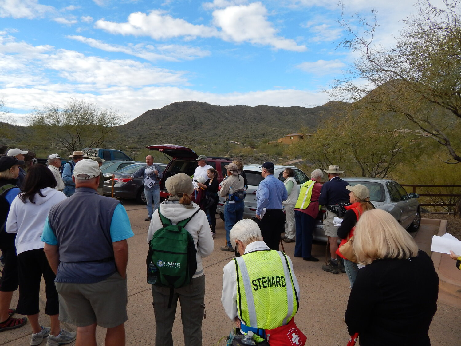
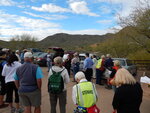
The Dixie Mine hike is one of the more popular treks sponsored by the Sonoran Conservancy of Fountain Hills, the town and Maricopa County Parks.
The trail itself is typically gentle sloping with a few steep up and down climbs in and out washes that come out of the hills that cross the terrain.
The Sonoran Trail that leads back into the McDowell Mountain Preserve within the Town of Fountain Hills intersects the Dixie Mine Trail about a mile in.